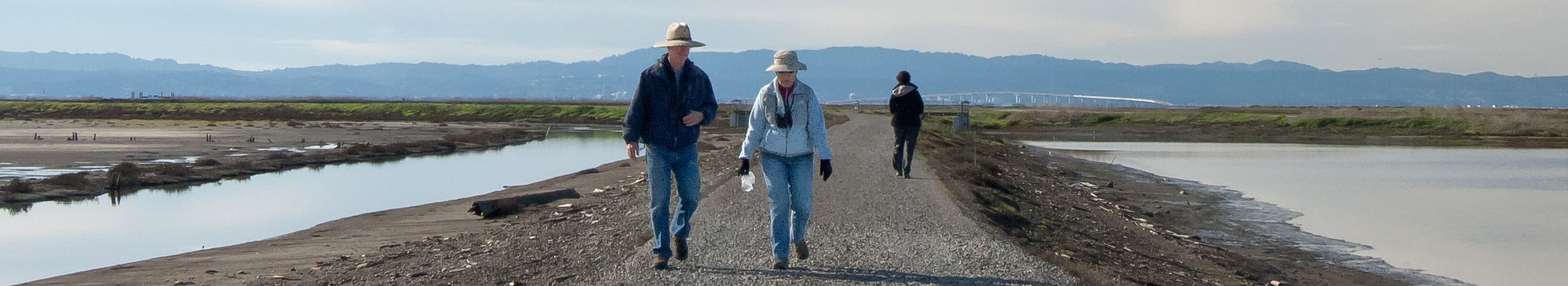
Visiting the Pond Complexes
 Don Edwards San Francisco Bay National Wildlife Refuge
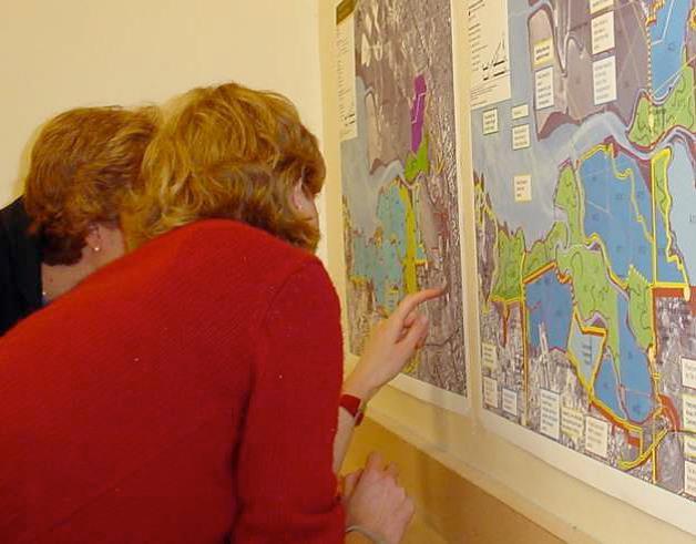
Visit the Restoration
Find out about current trail closures and construction
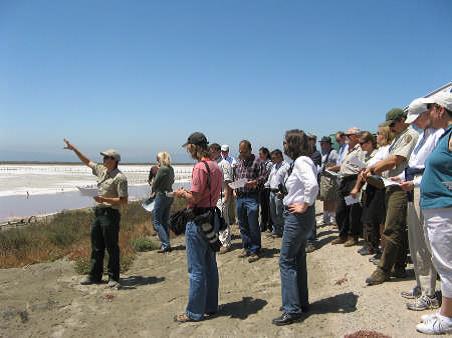
Volunteer and Interpretive Activities at Alviso Ponds
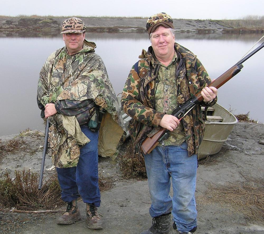
2023-24 Hunt Season Announced
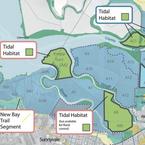
Waterfowl hunting starts in late September, with more than 10,000 acres open for hunting. See the map and specifics here.
Audio Tour at Alviso
Alviso ponds audio tour from YourWetlands.org.
Environmental Education Center (Trails, Views, Interpretive Displays)
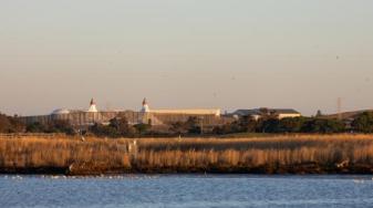
The Environmental Education Center at the southern end of San Francisco Bay is surrounded by uplands, marshes, salt ponds, and a freshwater tidal slough. The building, designed for education, contains two classrooms, an auditorium, and an enclosed observation tower. Trails and a new boardwalk through the seasonal wetland habitat make it easy to see and explore the natural wonders of the South Bay. The Environmental Education Center is open by reservation to school field trip groups Monday - Friday. It is generally open from 10am until 5pm on the weekends. Please call about weekend interpretive programs!! It is closed on all national holidays. Please call 408-262-5513 in advance to verify hours. The trails are open 7 days a week from Sunrise - Sunset. If the gates are locked please park and walk in to enjoy the trails.
Directions: From I-880 or Highway 101, exit on Highway 237 toward Alviso. Turn north onto Zanker Road. Continue on Zanker Road to the Environmental Education Center entrance road (a sharp right turn at Grand Blvd.) The distance from Hwy. 237 to the entrance road is 2.1 miles.
Disabled Access: It is the policy of Don Edwards San Francisco Bay National Wildlife Refuge to accommodate individuals with disabilities. If you have any questions concerning the refuge's programs, or if you need any accommodation to enable you to participate in the refuge's programs, please contact a public use staff person at the Visitor Center at 510-792-0222 or at the Environmental Education Center at 408-262-5513.
Interpretive Programs: Refuge naturalists and volunteers offer a wide variety of guided programs and walks, and other activities, although programs are on hold because of the pandemic. A collection of films and videos is also available for viewing in the auditorium. Call 510-792-0222 for program information, or pick up a schedule of events at the Visitor Center.
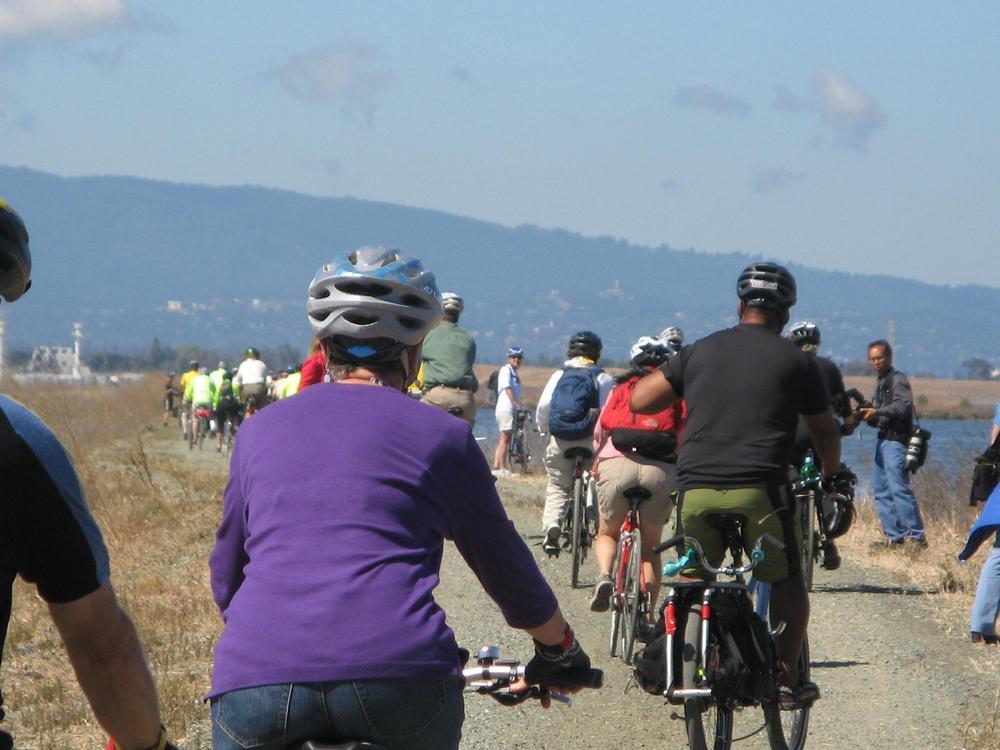
Trails: The Refuge is crisscrossed by miles of hiking trails. Our most popular trails include Tidelands Trail and Newark Slough Trail at the Visitor Center; New Chicago Marsh and Alviso Slough Trail at the Environmental Education Center. The Visitor Center trails connect to trails in Coyote Hills Regional Park. Trails are periodically closed due to levee maintenance. Check at the Visitor Center and Environmental Education Center for the latest trail information. All motor vehicles are prohibited on Refuge trails, to protect ecologically sensitive areas.
Note: The Mallard Slough Trail, closed during habitat enhancement construction, has reopened with altered alignments and distances.
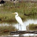
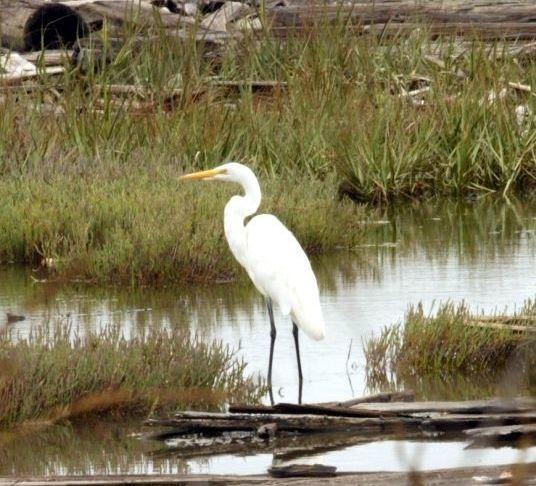
Fishing: A public fishing pier is located at the end of Marshlands Road at the refuge headquarters in Fremont and is open year-round. Birds, particularly the threatened western snowy plover, occasionally nest along Marshlands Road from April 1 - August 31. If birds are found nesting along this road, Marashlands Road will close to protect them. A free shuttle service is offered on weekends during these months. Call the Refuge for closure information. Fish commonly caught are rays, leopards sharks, white sturgeon, striped bass, and shiner surfperch. Check the California State Fishing Regulations for restrictions.
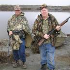
Hunting: The Refuge offers sites for waterfowl hunting mid-October to mid-January. Check the California Waterfowl Regulations each season for opening and closing dates. All hunting areas are boat-access only, except for Ravenswood. Additional information is available in the Visitor Center. A special use permit for hunting is required.
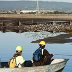
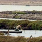
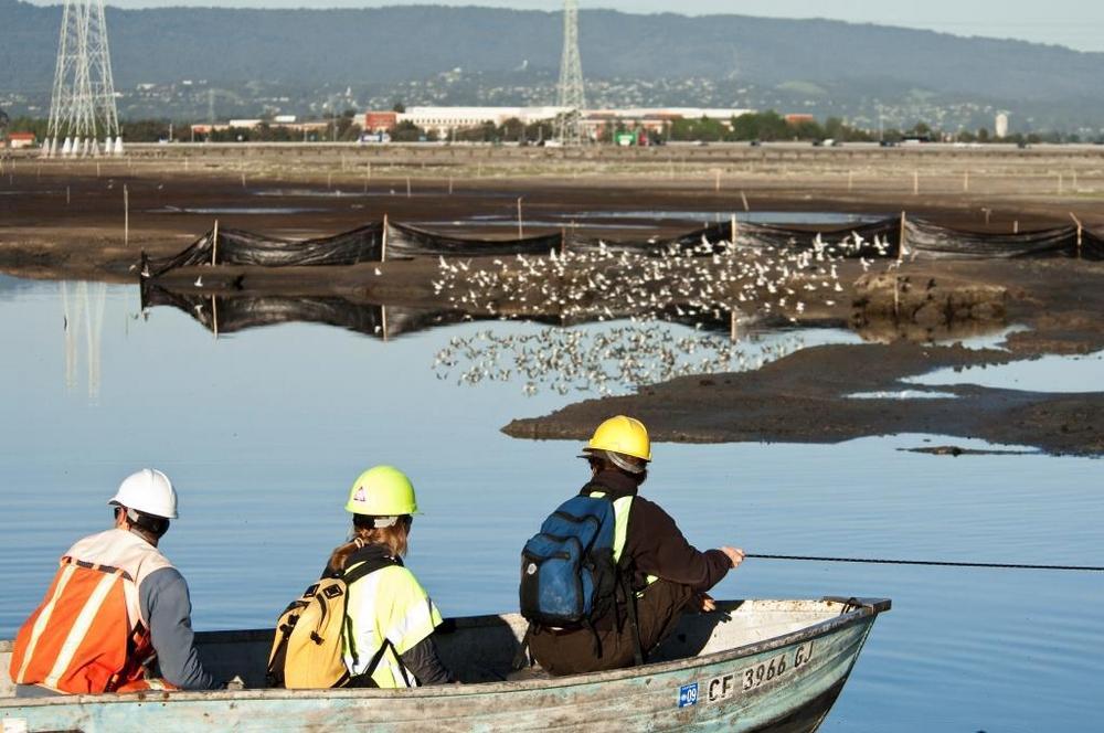
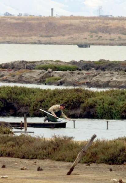
Boating: Canoes and kayaks are recommended, since motorboats disturb wildlife. Many sloughs are empty of water at low tide. Please be aware of the tide schedule before you embark. If your boat becomes stuck in the mud, wait for the next high tide to float it free. Public launching ramps are located at Redwood City and near the Refuge Visitor Center. For more information, see the San Francisco Bay Water Trail's page on the Alviso Marina County Park boat launch, or Santa Clara County Parks' page on Alviso Marina County Park.
Shoreline at Mountain View Park (Trails, Views)
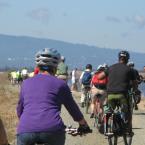
West of Stevens Creek near the Bay is Shoreline at Mountain View. Shoreline at Mountain View Park is a beautiful 700-acre park with a saltwater lake, golf course, rolling grassy hills, and bay trails. It's hard to believe it was built on mountains of trash. For 13 years, starting in 1968, 500 acres of the land near the bay was used here as a landfill for trash from the city of San Francisco. In 1983, Mountain View closed the dump and began turning it into a park. Here is a history of the park. Next to Shoreline Park are the towering tent peaks, the largest in the world, of the Shoreline Amphitheatre. The park's 50-acre lake is popular with wind surfers and small boaters. The strong bay winds make the park a favorite place for stunt kite flying. The park has 10 miles of trails, some paved, some dirt. Paved trails lead past the golf course, around the lake, and along the tidal marshes and salt ponds. Some trails lead northwest to Palo Alto's Baylands Nature Preserve.
Directions: To reach Shoreline at Mountain View directly from the south, take Hwy 101 to the Shoreline Blvd. exit. Shoreline Blvd. leads directly into the main entrance of the park. From the north, take Hwy 101 south, exit at Amphitheatre Parkway, then turn left at Shoreline Blvd. to the park entrance. The start of the Shoreline Trail is near the Crittenden Lane Trailhead. Crittenden Lane is east off Shoreline Blvd. before the entrance to the park. The back side of the park can be reached by taking Hwy 101 to the San Antonio Avenue off-ramp and heading north. San Antonio turns right at Terminal Blvd. There is parking along Terminal Blvd. Trails lead into the west side of the park. The park can also be reached from the Bay Trail along East Bayshore Road from Palo Alto, or back along the Palo Alto Baylands Marsh trail.
Alviso Marina County Park (Trails)
This 18.9-acre bayside park provides opportunities for picnicking and birdwatching, as well as access to other public lands for seasonal hiking and mountain bicycling.
Directions: The Marina is located at the end of Hope Street, which can be reached by taking Lafayette Street north from Santa Clara or 1st Street northwest from San Jose. Lafayette turns into Gold Street. 1st Street turns into Taylor Street, which intersects Gold Street. Turn right onto Gold Street. Continue on Gold Street, which turns left and becomes Elizabeth Street. Elizabeth T's onto Hope Street. Turn right and go over the bridge to the Marina. From the Peninsula, take Hwy 101 to Hwy 237, get off at the Great America Parkway exit, turn left, then follow the road for a short distance until it hits Gold Street. Then turn left. From the East Bay, take 880 to 237 to the 1st Street exit. Turn right and follow 1st Street to Gold Street as above.
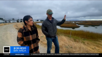
Television and Radio
Print and Online Media

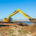
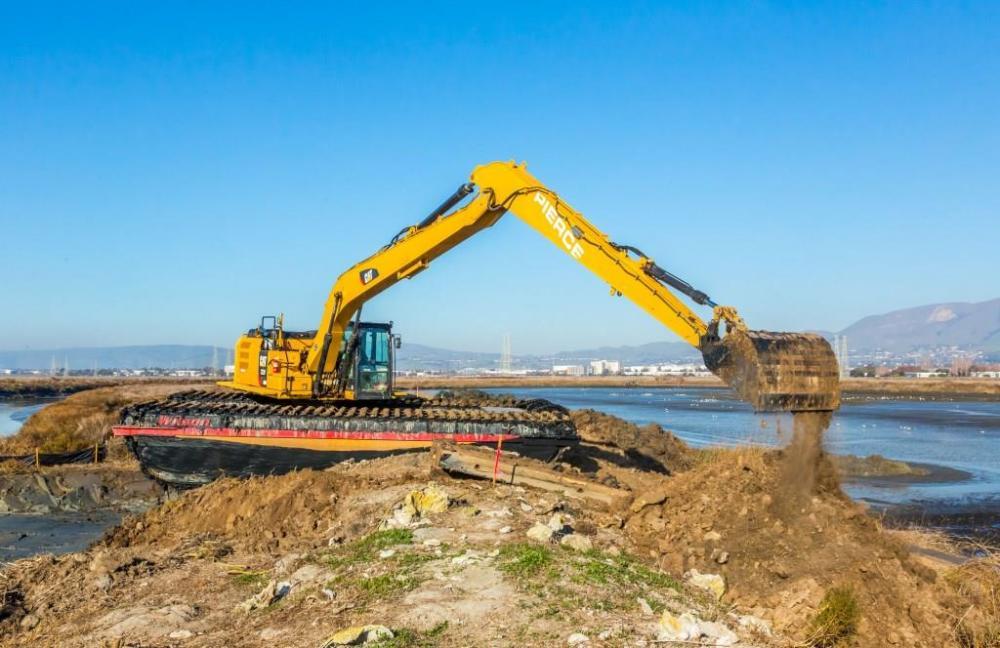
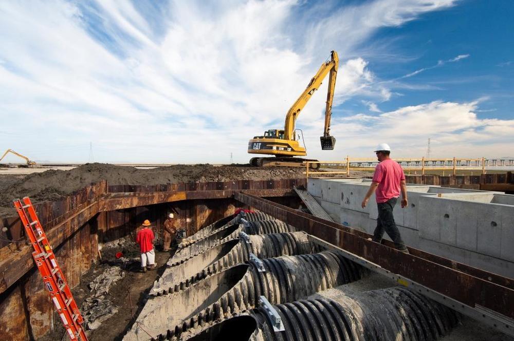
Construction Milestones
-
2021
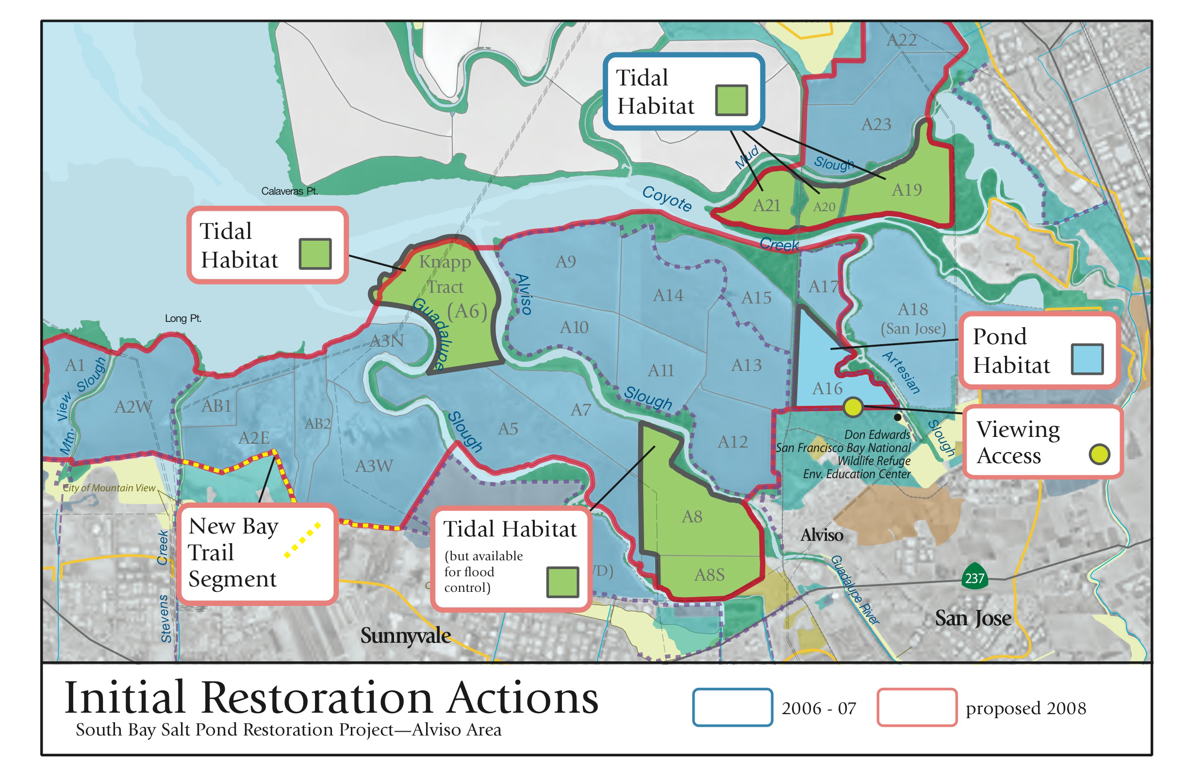
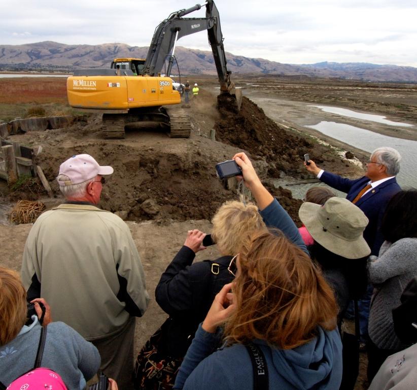
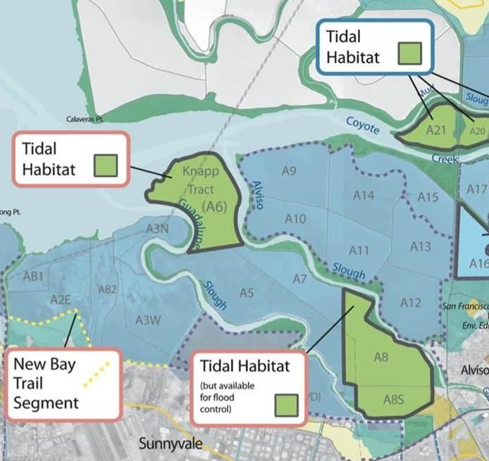
Island Ponds: workers breach and lower levees to further open ponds A19-20 to tides and speed salt marsh growth.
-
2017
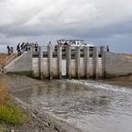
Managers open all 8 gates to Pond A8, a step toward restoration, after scientists conclude the tidal opening won't harm wildlife in an area of toxic mercury-laden mud.
-
2016
Managers finalize plan for Phase 2 restoration and recreation construction at Alviso and Ravenswood ponds
-
-

2014
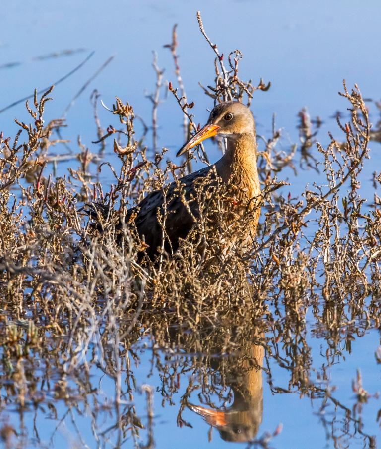
Endangered Ridgway's rails found for the first time at our restoring salt marsh (Pond A21)
-
2013
The Project enhances 240-acre Pond A16 for migrating shorebirds, building 16 nesting islands and installing a fish screen to protect salmon and steelhead.
-

-
2011
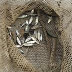
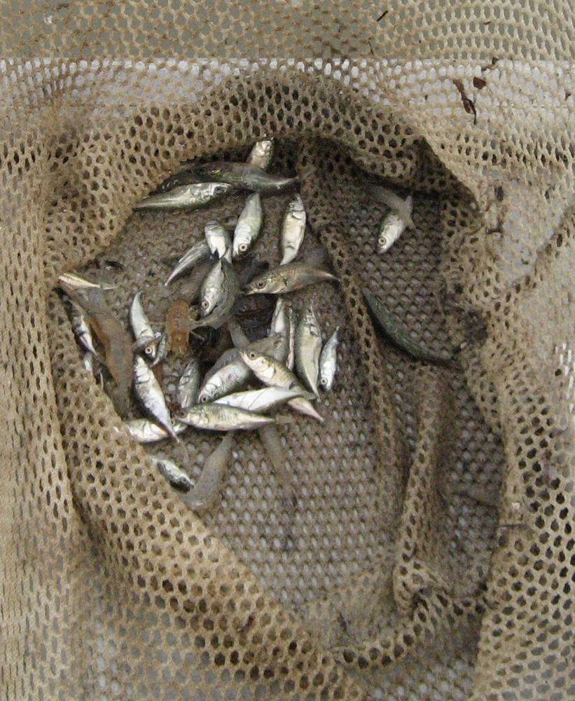
Greater numbers and species of native fish are using restored and enhanced ponds, including the threatened longfin smelt, scientists report.
-
2011
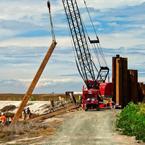
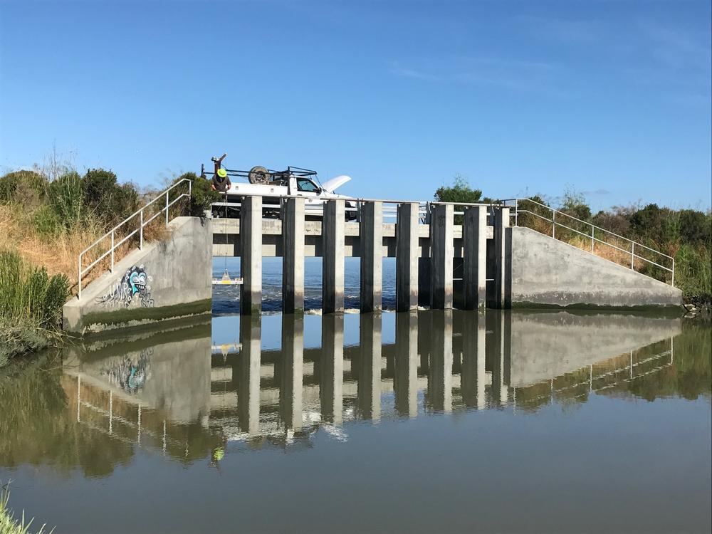
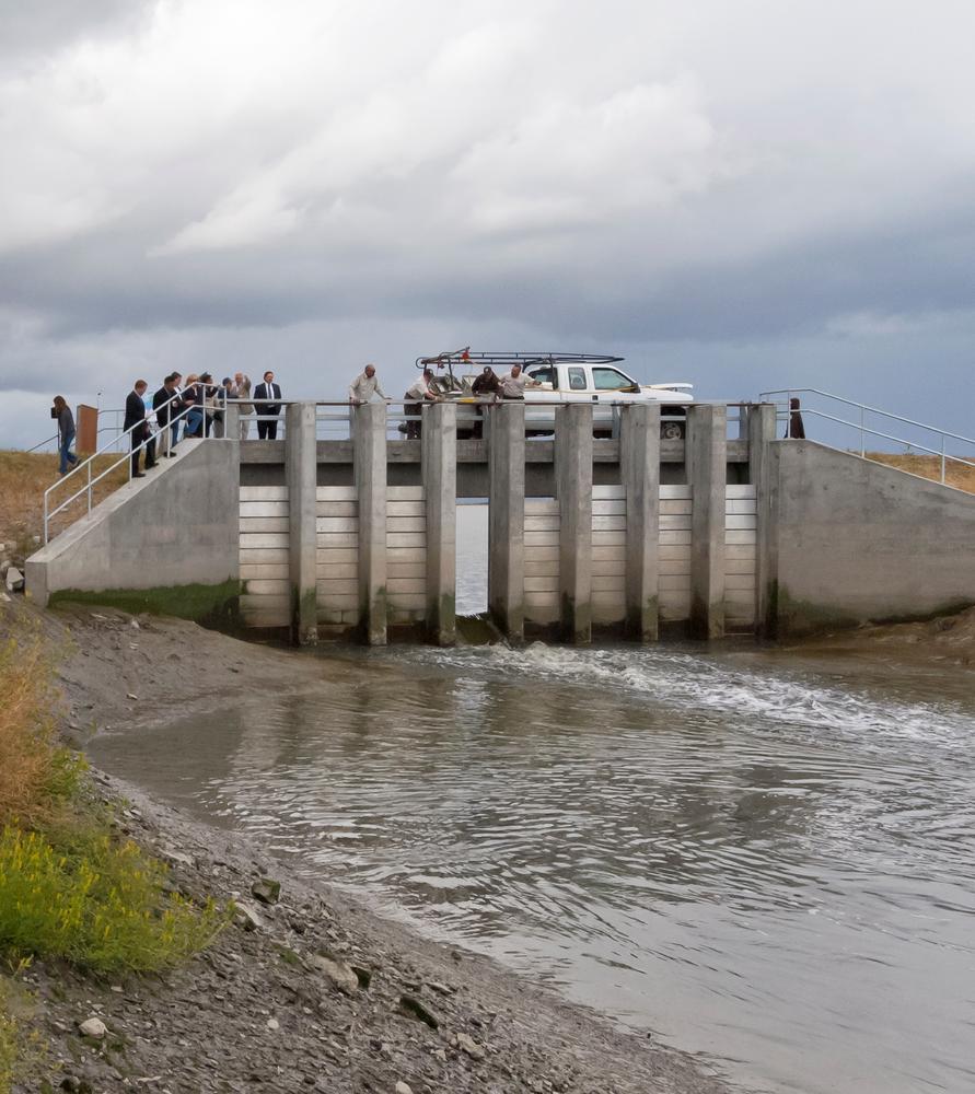
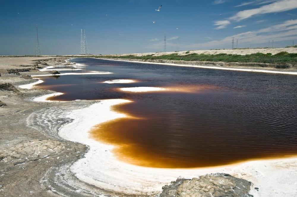
1440 acres of ponds along Alviso Slough, Ponds A8, A7 and A5, are connected to the Bay via 1 gate (on a new 8-gate dam), enhancing the ponds for ducks, pelicans and cormorants, and taking the first small step toward restoring marsh. The structure allows careful control of water flows in this mercury-laden area to minimize toxin impacts to wildlife.
-

2010
The 360-acre Duck's Head pond, A6, is breached to the Bay, creating tidal channel habitat that will evolve over time to tidal salt marsh.
-

2010
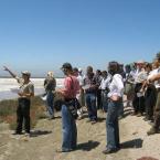
Project managers launch planning for Phase 2 construction projects, dialoguing with stakeholders and members of the public at periodic public meetings.
-
2010
A new 2.2-mile stretch of Bay Trail along Moffett Field opens, connecting Mountain View’s Stevens Creek and Sunnyvale.
-
-
2008
The project launched a $4 million scientific research and monitoring effort, engaging a variety of academic, government, non-profit and private sector researchers on more than 20 studies on key scientific questions.
-
2007
Project managers finalize a 50-year Restoration Plan! The Plan establishes an adaptive management process, so that ecological factors guide the extent of salt marsh restoration; based on scientific data and the needs of multiple protected species, the Project will restore from 50% to 90% of the ponds to salt marsh.
-
2007
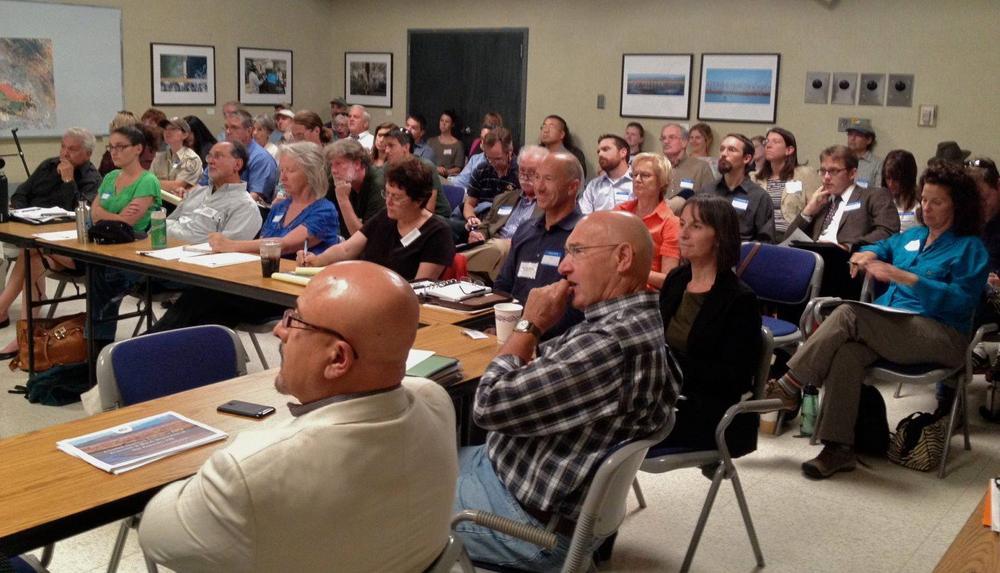
The Project launches three public Working Groups to guide Phase 1 design and construction at each pond complex.
-
2006
Project managers breach the Island Ponds (A19-A21), reconnecting 800 acres of former salt ponds to the Bay.
-
2006
Based on extensive public and stakeholder dialogue, managers finalize three alternative Project-wide plans for consideration and environmental analysis: a 50/50 split between tidal marsh and ponds; a 90/10 split between tidal marsh and ponds; and no change.
-
2005
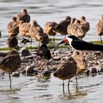
Thousands of shorebirds and ducks began returning to ponds now managed for wildlife instead of salt production.
-
-
2004
Project managers begin transforming the ponds from industrial salt-production sites to feeding and nesting spots for migratory birds in a 3-year initial stewardship plan to dilute salty water and optimize water levels.
-

2003
Project managers launch an intensive public planning process, including a 25-member Stakeholder Forum and many additional public workshops.
-
2003
The Project's National Science Panel forms to advise on the role of science in the restoration.
-
2003
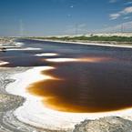
State and Federal agencies and private foundations acquire 15,100 acres of commercial salt ponds in the South Bay from Cargill Inc. for $100 million. The South Bay Salt Pond Restoration Project launches to oversee multi-decade restoration of the ponds to achieve wildlife habitat, recreation, and flood protection goals.


Documents Related to this Pond Complex
| Pond A16-A17 CDFG Approval Letter (October 2011) |
| Pond A16-A17 Environmental Action Statement (November 2011) |
| SBSP Phase 1 Restoration Alternatives Maps |
| Stakeholder Assessment |
| 2008 RFP Awards for Phase 1 Selected Monitoring and Applied Studies Topic 1: Measuring Habitat Evolution Utilizing Satellite Imagery |
| Consistency Determination #CN 10-03—Bay Conservation and Development Commission (October 17, 2008) |
| Final Amendment to Regional Board Permit (February 2012) |
| Identification and Evaluation of the South San Francisco Bay Solar Salt Industry Landscape (March 9, 2009) |
| Inventory of Water Monitoring Activities |
| Registry of Selected Monitoring and Applied Studies |
| Pond Breach Dates |
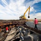
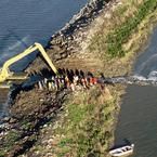
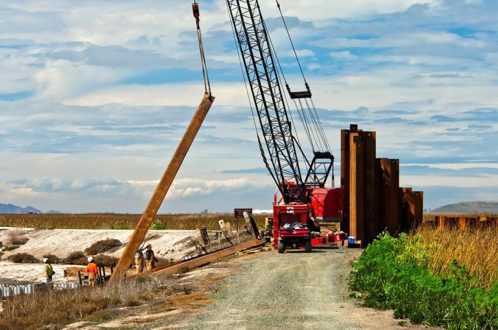
| South San Francisco Bay Shoreline Project (Phase I) construction begins late November 2021 |
| 2008 RFP Awards for Phase 1 Selected Monitoring and Applied Studies |