Presentation
Description
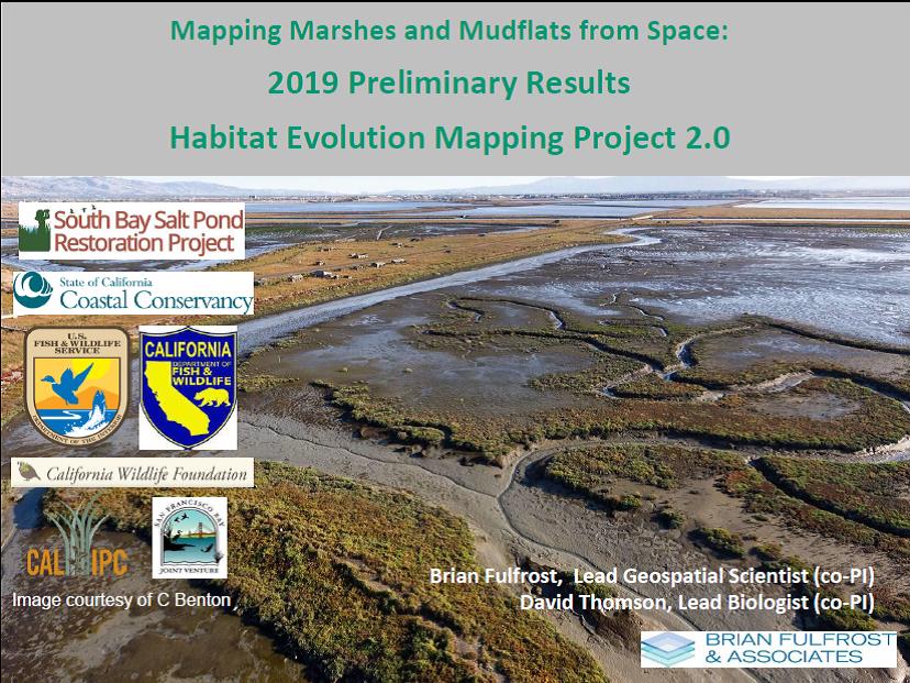
On May 21, 2021, Brian Fulfrost of Brian Fulfrost & Associates shared preliminary results for the Habitat Evolution Mapping Project's (HEMP) 2019-2021 update work. The HEMP project uses satellite imagery and groundtruthing to map tidal marsh and mudflat habitat in the Restoration Project boundaries and the wider South Bay. HEMP's initial mapping work occurred 10 years earlier, 2009-2011.
Author(s)
Date