
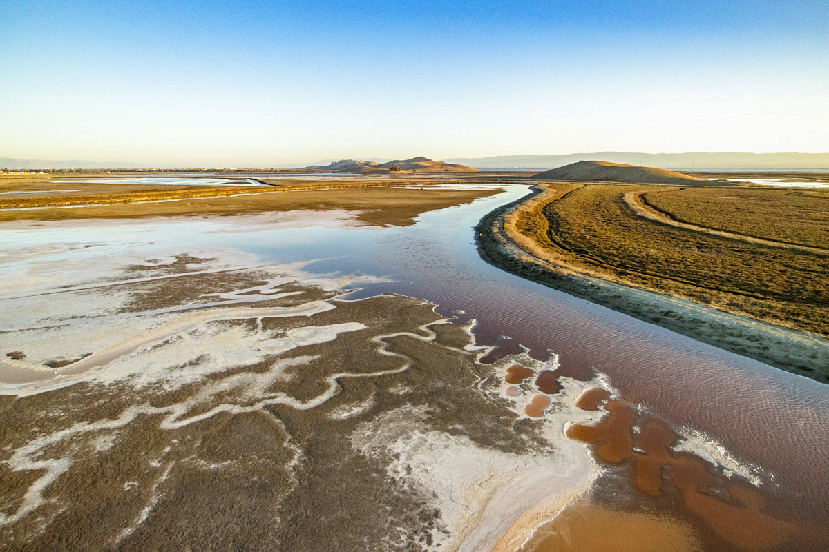
What Are We Doing at Eden Landing? And When?
Hello – and welcome back to Salty Dave’s Wetland Weblog, where we ironically embrace a lot of alliterative archaisms!
I am psyched to have gotten our first Reader Suggestion for a blog entry topic: Brian Coyne asked about what we are planning to do at the Eden
Landing Ecological Reserve portion of our project and when. He was especially interested in the added public access trails. This is a timely question, so I’m just going to dive right in.
Mr. Coyne correctly noted that the Project alternatives presented in our 2018 draft environmental analysis of Phase 2 plans considered a wide range of different options for completing the Bay Trail spine through southern Eden Landing. We did that to allow public suggestions to help drive the decision, especially by pointing out benefits and impacts of the different trail routes.
And it worked! We received a lot of suggestions and we made adjustments not only to the trail routes but also to their finished elevations and widths, locations of channel crossings, and connections with neighboring communities. We wove those suggestions and ideas into our preferred alternative and presented that a year later in the final document.
Here are the take-home points:
- With environmental analysis complete, we are working on designs and beginning to prepare applications for regulatory permits. We’ve been meeting with regulators to present early design concepts, get their input, and make sure that we have everything in place for a smooth and efficient permitting process.
- Our goal is to apply for permits this summer and receive them by mid-2022. If everything goes quickly, we’d be able to start construction late in 2022, or, if it doesn’t, early 2023.
- We are going to complete the Bay Trail through Eden Landing largely on property managed by the California Department of Fish & Wildlife (CDFW), though we will need legal permission from the Alameda County Flood Control District to use some of their levees and cross some of their channels.
- The trail will run along the eastern side of Eden Landing. From north to south it will cross Old Alameda Creek, wind to the southwest, cross a new bridge over a stormwater channel, wrap around the northern end of Turk Island, and then meet the Alameda Creek Regional Trail along the Alameda Creek Flood Control Channel.
- Neither CDFW nor this Restoration Project owns the lands on either side of that channel, so it’s not a feature we can build ourselves. We hope to form a partnership with those landowners (including the Flood Control District and the East Bay Regional Park District) to design, fundraise, and build this feature in the future.
I hope that answers those questions. But it’s a lot of words to convey what a map can show more easily. So if you seek more information, definitely have a look at the maps and text in the final environmental report’s Executive Summary and Chapter 6 (available at https://www.southbayrestoration.org/document/phase-2-eden-landing-final-environmental-impact-report). They show and explain what we are planning to do, where, and when.
Thanks again for the great idea, Brian, and everyone, please keep them coming!