
What Are You Going to Do About Sea Level Rise? Part 2
In our last entry here at Salty Dave’s Wetland Weblog (still hoping for some better name suggestions…), I wrote about sea level rise and related aspects of coastal flood management and adaptation. I also covered our overall process for planning to make our restoration efforts successful in a world with higher tides.
But I only got partway through it, because there was too much to tell in one blog entry – my editorial staff is telling me that Twitter’s 280-character limit has warped everyone’s attention span such that no one wants to focus on a piece that’s over 600 words and that 300-400 words would be better. I have more faith in you than that and know that you’ll be able to…wait, hang on…I gotta check the score of the Giants game…
This time, we’re going to dig in with Part 2 of how we plan for and incorporate sea level rise in our project. I wrote earlier about how we include things like habitat transition slopes to help marshes migrate upslope over time, and levees that are wider than they need to be, so that they can be topped up as needed later. But the process actually begins long before we put pen to paper (or, more accurately, a mouse to a computer-assisted design software program).
Proper planning for sea level rise means we have to think carefully about which ponds to aim to restore to tidal marshes. Our 2007 preliminary plans were completed before we understood the great rate and magnitude of sea level rise that might occur. Those plans may be too optimistic about how many acres of tidal marshes we can produce without bringing in added sediment supply (more on that below). We need to refocus our marsh restoration efforts on the best available opportunities. This includes focusing on ponds that are not so subsided that they are already "behind the curve" when it comes to sea level rise.
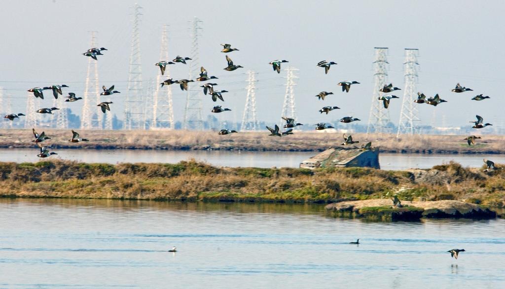
Those deeper and more subsided areas will be kept as managed ponds, which is important, because plenty of different birds use these ponds and the levees around them for foraging, roosting, or nesting. We want to protect and enhance those habitats too, so having multiple reasons to set some ponds aside is often handy. (It’s important to remember, however, that managed pond habitat is also at risk from higher sea levels, as the levees surrounding them were originally designed for salt production and not to protect against rising seas. Under higher sea level rise scenarios, they will face increased risk of erosion and overtopping too. The mental model a lot of us have of being able to retain pond levees and habitats indefinitely is not totally accurate.)
We are also considering pilot projects to help jump-start restoration so that marshes can develop more quickly. By reusing material from offsite upland excavation projects and/or dredging, we can augment naturally occurring sediment supplied by the tides, raise pond bottoms to marsh elevations, and maybe even add sediment in thin layers in the future to help out marshes we restore today. We are interested in whether it would be helpful to place dredged sediments on mudflats outside of ponds to increase the natural sediment supply. And we are trying to direct more sediment from area creeks into the interiors of restoration areas, rather than streams carrying it out into the Bay. There are costs and regulatory hurdles to these added mechanisms, but we are seeking to utilize them more fully in the coming years.
Let me know if you want to read more on sea level rise. It’s a very rich topic.